OpenCities Map
₹49,705.00 – ₹223,380.00
OpenCities Map
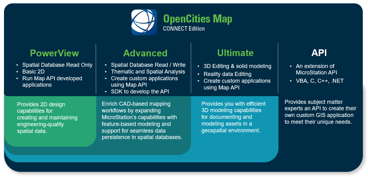
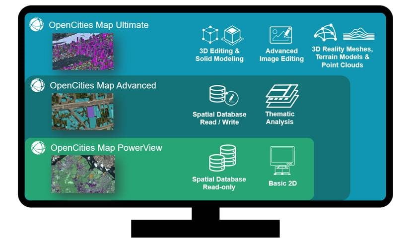
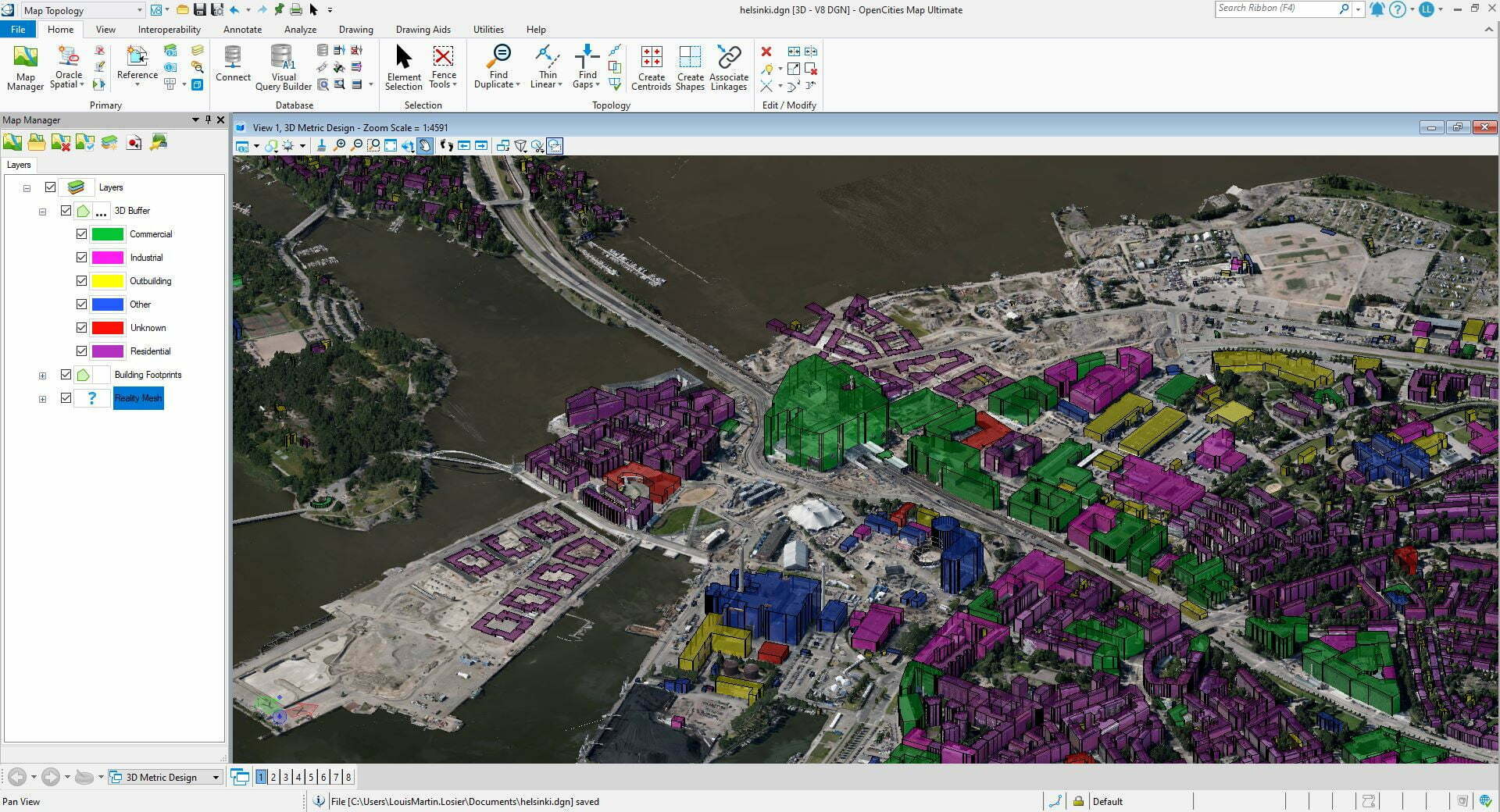
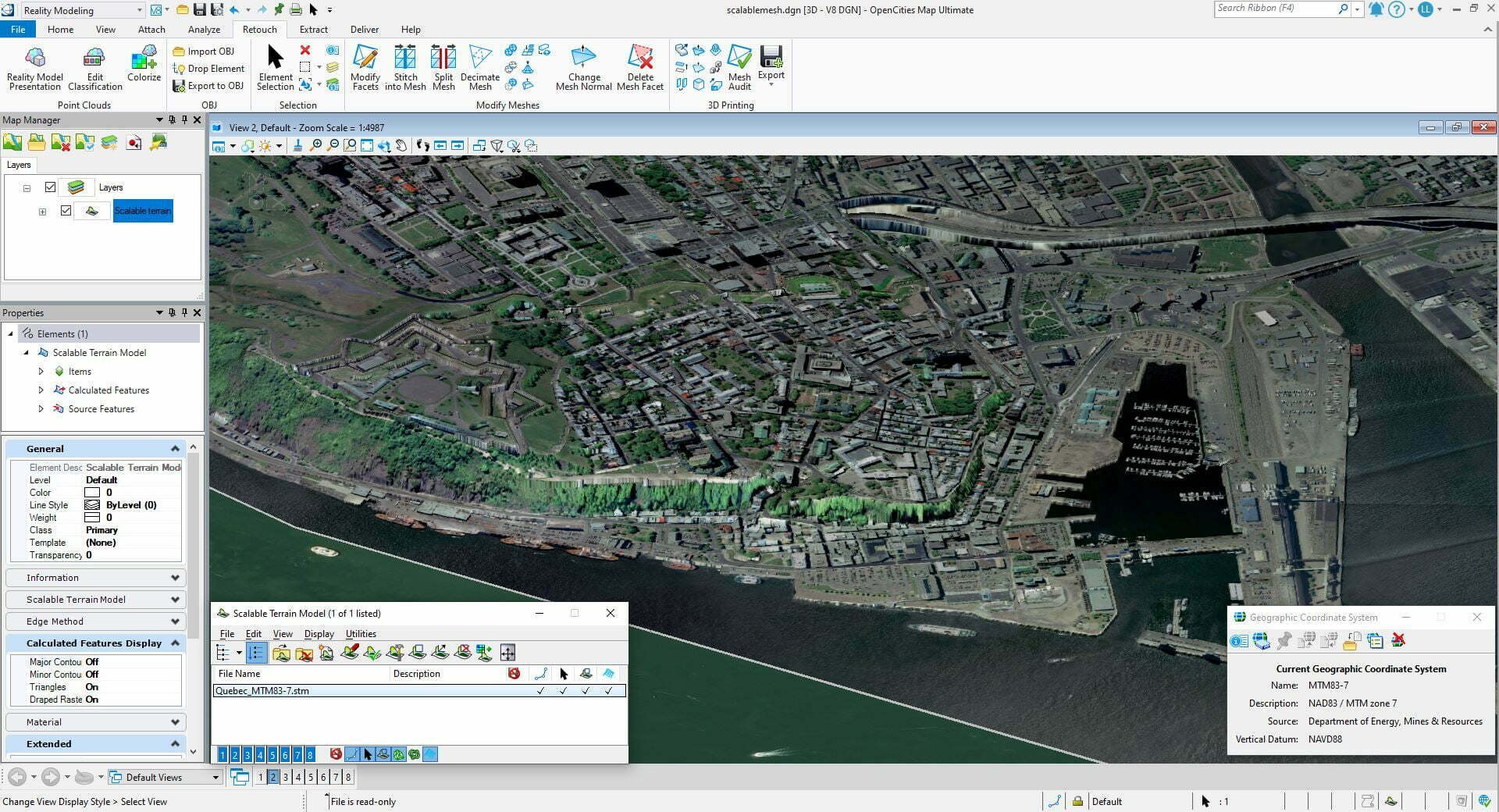
OpenCities Map is a comprehensive geospatial application that helps document and manage your 2D and 3D assets within a geospatial workflow.
12-month subscription license
Including 1 – 3 Keys ?
Keys are credits that can be redeemed for expert services and tailored training. Keys do not represent number of licenses.
Features
- Redeem Keys (training credits) for training or services of your choice
- Intelligently create geospatial objects and presentations
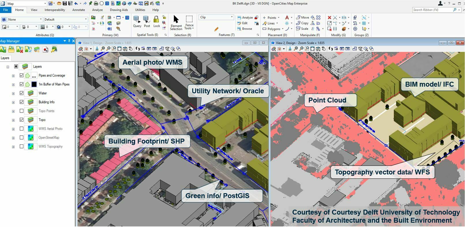
- Integrate engineering, geospatial and reality data from many sources
- Import and export other GIS formats
Be the first to review “OpenCities Map” Cancel reply
Related products
Reality & Spatial Modeling
₹169,599.00
Reality & Spatial Modeling
₹46,454.00 – ₹208,766.00
Reality & Spatial Modeling
₹131,713.00
Reality & Spatial Modeling
₹453,926.00
Reality & Spatial Modeling
₹49,705.00 – ₹223,380.00
Reality & Spatial Modeling
₹180,130.00 – ₹648,466.00
Reality & Spatial Modeling
₹180,130.00 – ₹648,466.00
Reality & Spatial Modeling
₹227,770.00



Reviews
There are no reviews yet.